
Visit ICW “Founded in 1904…NASS is the nation’s oldest, nonpartisan professional organization for public officials.”
Among key initiatives the areas of elections and voting are a focus for NASS. Hope to see you in Portland, Maine.
Lee
Stay Current
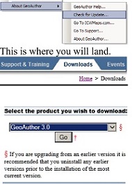
At ICW We Are Continually Enhancing Our Applications
Using GeoAuthor® as an example, make sure you are working with the latest version of software. Go to the About>Check for Update menu and the application will automagically take you to the download section of the ICW website.
A New GeoElections County
What Florida county is on the Gulf, has an old-fashioned fishing village now a tourist center with several regionally famous seafood restaurants and annually holds a Spring Sidewalk Art Festival and a Fall Seafood Festival, each attracting thousands of visitors to the area? This county has eight towns/cities and approximately 26,000 voters.
The correct answer is Levy County. “GeoElections and GeoAuthor are designed to interface perfectly with my voter registration system, Voter Focus”, Tammy Jones, SOE.
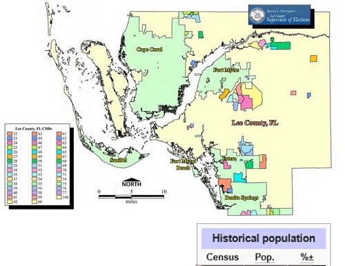
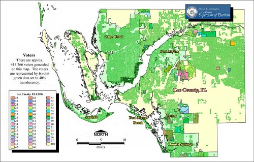
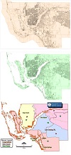
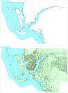
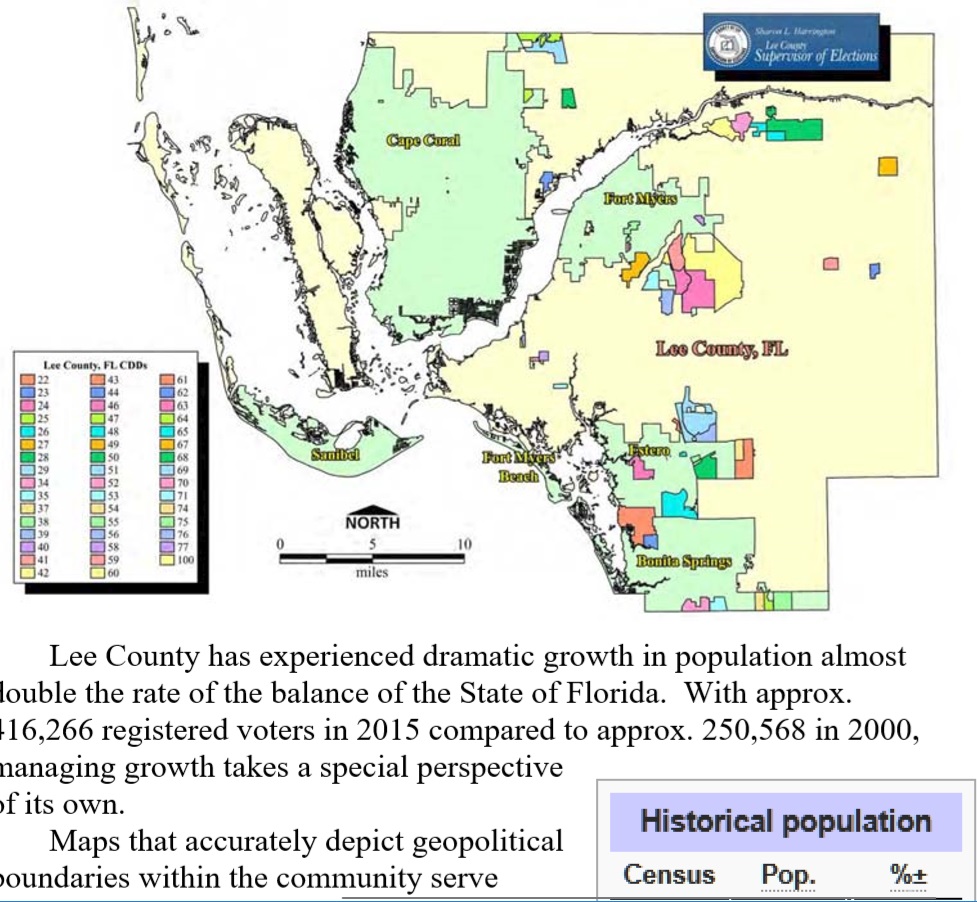
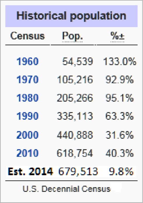
Lee County has experienced dramatic growth in population almost double the rate of the balance 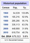 of the State of Florida. With approx. 416,266 registered voters in 2015 compared to approx. 250,568 in 2000, managing growth takes a special perspective of its own.
Maps that accurately depict geopolitical boundaries within the community serve electors to candidates, incumbents to elections office staff. Because of statutory requirements building upon the PL 94-171 TIGER/Line Shapefiles is a practical and economical means to meet both the statutory demands and operational functions.
Given the abilities of GeoElections® to interoperate with voter registration systems, the digital model from which the map is derived becomes a greater value to the elections office than alternative methods.

 "It all begins with the Map!"
 Temple Terrace, FL
  $.50
$.50 