 "It all begins with the Map!"
GeoElections News
 Temple Terrace, FL www.icwmaps.com VOL. 22 NO. 3 -
  $.50
$.50 
The 24th Annual GeoElections User’s Conference – December 2025
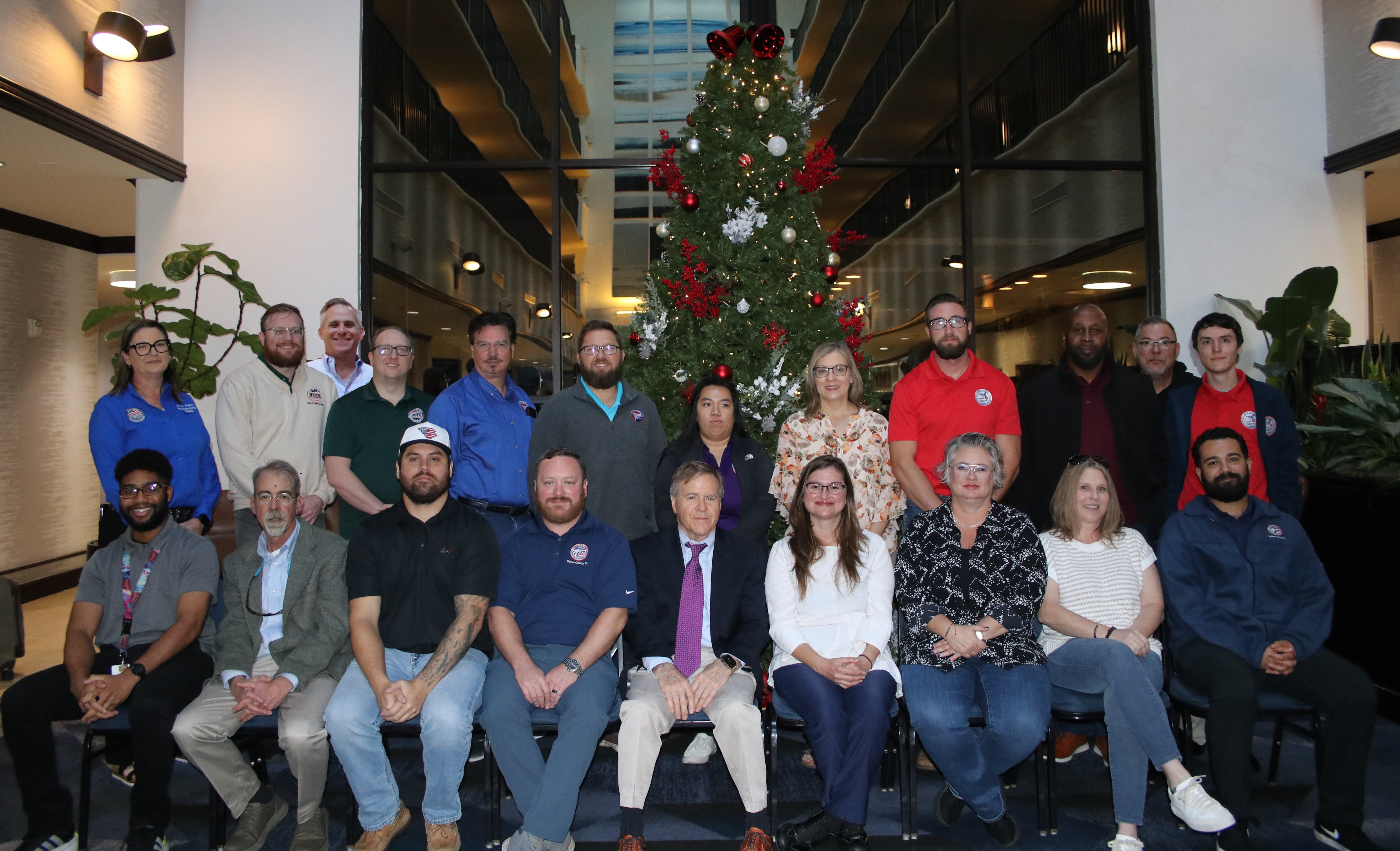
Another outstanding GeoElections Conference was conducted for veterans and new users alike. Members from International Computer Works, Inc. (ICW) provided insights into GeoElections for both MapInfo and ArcGIS Professional. James Whitehorne provided an early insight into the ways Census will use our clients participation in the Block Boundary Suggestion Program (BBSP).
|
At the conference we had two guest speakers and a number of ICW presentations. James Whitehorne, Chief of the Redistricting and Voters Rights Data Office, delivered the first address. I have known him for twenty years and as usual he delivered a great presentation. He had the assistance of Jennie Karalwich in the preparation of the presentation. James provided an overview of the BBSP which deals with the process of renewing Census blocks. He provided a detailed review of the 2030 RDP Program for our attendees to participate in. The second speaker was Wren Fowler, with VR Systems. Wren has supported six presidential elections cycles and has been with VR Systems since 2002. Wren addressed issues with importing the map to VR Systems and answered numerous |
questions pertaining to the nuances of importing data from their data files for geocoding and then reporting the data back into the voter registration system. Wren made it apparent that questions she could not answer at that time, she would follow up with via phone later. We were thankful for the work from both parties. We took our group photo and continued with presentations from Keith Tozier and Rob Tozier with introductions and overviews of GeoAuthor, GeoPoints and GeoElections. The evening was enjoyed by all the attendees at Top Golf. The balance of Friday dealt with matters pertinent to SQL and a general questions and answer period focusing upon questions from the audiences.
|
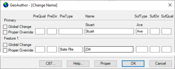
The Art of Conflation The art of conflation is a term borrowed from the study of literature. It is the process where combining two variant texts into a new one. GIS technology is more modern than other disciplines. Thus, borrowed names determine other disciplines. It has been said the silver tuner for mapping is “conflation”. To this end, the people at ICW have spent a great amount of time and energy developing specific tools to assist with the next decade’s base map. Tools such as Change Name, MultiUpdate, Change Attribute, and Trace along with numerous other features are wrapped up in your software. Following is a portion of the full dialog box from the Change Name. This feature is an example of updating one or all the name(s) in the database. The Global Change and Proper Override features allow one to refine feature options. While not illustrated, like the Change Name, the MultiUpdate function allows the user to Change Names, ZIP Codes, MTFCC and Revert Graphics. Below is an example of the Change Attributes dialog box. One can update a segment at a time. Both updated Address ranges, ZIP Codes and the MTFCC values change also be updated. Below is an example of the Trace function. 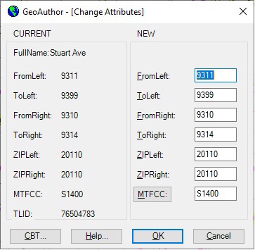 |
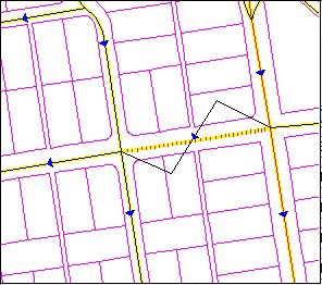
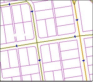
Once the segment has been added, the map will appear as Illustration 2. When you are presented with maps from the US Census Bureau to work with, you will use the tools in GeoAuthor to convert the Census data to match your current map. Each line within the new data should match the geometry of your existing line work. New boundaries will be provided that replace the districts you have been using to make up municipal annexation, special taxing districts and other boundaries. With the P.L.94-171 a key boundary will remain as submitted to the Census redistricting program. This district will be your voting district boundaries and wards. The Census worked with the states to ensure they have the data summaries tabulated to the necessary geography to facilitate their legislative redistricting. This feature is important to place your voters. Blocks are areas defined by streets, roads, streams, railroad tracks, and by nonvisible boundaries, such as selected property lines and city, The yellow line represents the proper base line we
want to conflate with. The second line is our TIGER, which we are going to adjust. Select yellow line and activate the Trace function. The Trace dialog box will pop up illustrating
the attributes of the segment included with the line
segment for final review.
In all instances, blocks will designate all areas for federal, numerous state and county regions. The functionality contained in GeoAuthor will save many hours of editing with alternative software. The art of conflation embedded with your ICW software will work to solve your problems. | |