
 "It all begins with the Map!"
From One Map Source
Provide the most comprehensive ANI/ALI database possible for CAD.
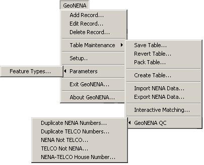
GeoNena® works with an agency's GIS base map of discrete addresses and the NENA 512 formatted file provided by the agency's Telco providers to manage the transactions required to maintain an ANI/ALI database.
GeoNena® brings four major features to address the problems it was designed for:
GeoNena® is used in conjunction with GeoAuthor® & GeoPoints© or GeoAuthorGT™ & GeoPoints©. This provides the user with an intuitive set of tools for managing a digital base map and the telephone numbers associated with discrete addresses/locations.
As a prerequisite, GIS base maps built with the GeoAuthor® or GeoAuthorGT™ both of which include GeoPoints© are required in order to access the functionality offered by GeoNena®. GeoNena® uses the database of discrete addresses created and maintained in within the GeoAuthor® or GeoAuthorGT™ project with GeoPoints©. GeoAuthor® is used to manage the point based tables. The point table is used for matching the Telco data, thus linking the Telco data to an X and Y coordinate location.
Call ICW for additional details about GeoNena®.
